
Meet the team
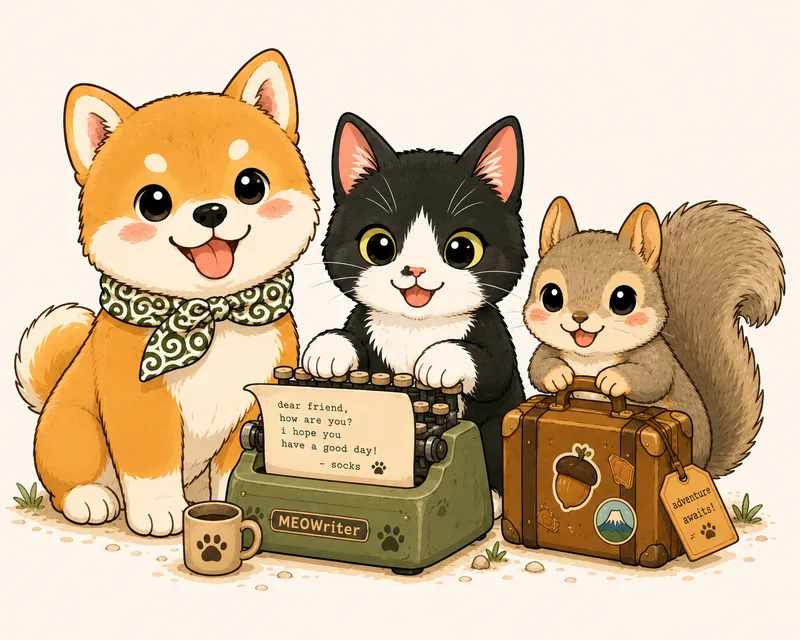
Cinnamon Land started in Japan — the team still lives there, in a tree hollow, a mail room, and wherever Mon-chan last fell asleep — but after scouting Japan top to bottom they went international: Thailand, the USA, and wherever travelers send them next. These are the three animals doing the work.
The team 🐿️🐈⬛🐕

Cinnamon 🐿️
The world traveler. A squirrel who cannot stay in his tree — every place in this atlas is somewhere he's been, climbed, or eaten near. He writes the field reports. Well — he dictates them. No thumbs.
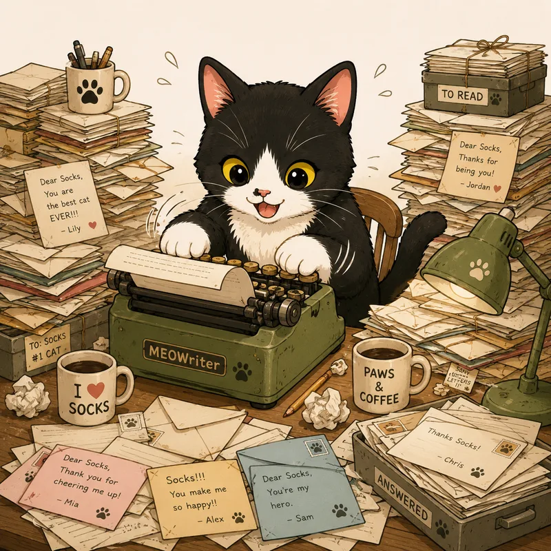
Socks 🐈⬛
The tech lead. Types up every reply on his MEOWriter, one paw at a time, because Cinnamon has no thumbs and Socks has no fear of keyboards. If you get an email from us, Socks typed it. He does not fix his own spelling. He stands by that.

Mon-chan 🐕
Moral support and protection. He provides both by being cute, which is somehow always enough. Rides along on every trip, bows back at deer alongside Cinnamon, and guards the suitcase with his whole heart.
What they make
An open atlas of the strange, the seasonal, and the overlooked — the places most tourists never see, each with Cinnamon's field report from the visit. The goal is a single feeling, over and over: "I had no idea this existed." How the scouting works — and how to send them your own trip — is on the front page; the short version is you write to Cinnamon and he goes.
The repository is the database
There's no server and no hidden database. Every place is a small Markdown file in a public Git repository, validated against a strict schema. That makes the whole atlas transparent, version-controlled, forkable, and easy for both humans and AI agents to edit. The website is generated from those files and served as static pages — fast, cheap, and resilient.
Built to last
Cinnamon Land is designed to be developed primarily by AI agents over a long time. Architecture, data model, and contribution workflows are documented in the repository so any capable agent can pick up where the last left off. It's a passion project, not a tour company.
Credits & license
Map tiles © Esri, HERE, Garmin, © OpenStreetMap contributors. Content CC BY-SA 4.0 · Code MIT. Found an error? Open an issue or comment on any page — corrections are welcome and easy to make.